Historic Maps
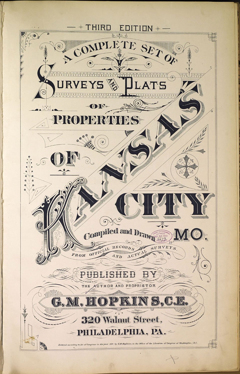
A Complete Set of Surveys and Plats of Properties of Kansas City, Mo. Third Edition 1891
Compiled and drawn from official records and actual surveys.
Published by the author and proprietor - G.M. Hopkins, C.E., Philadelphia, PA. — Digital publisher - Mid-Continent Public Library. — Contributing institution - Jackson County Historical Society. — The images contained in the collection are intended for research and educational use only.
1891 Atlas
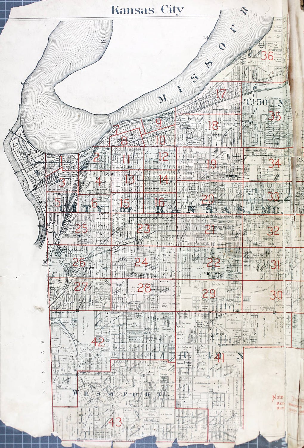
1891 Atlas Index Map
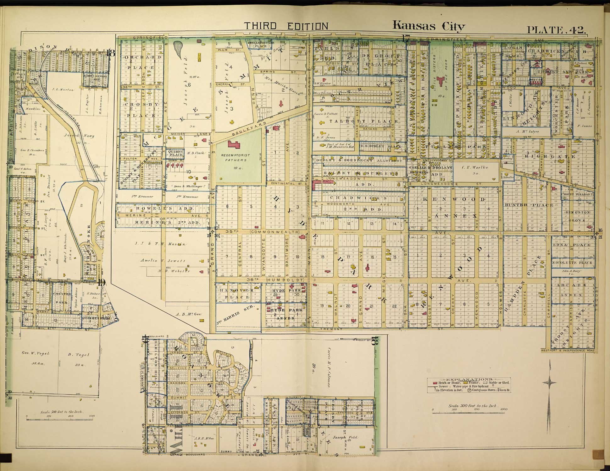
1891 Atlas - Plate 42 - Westport
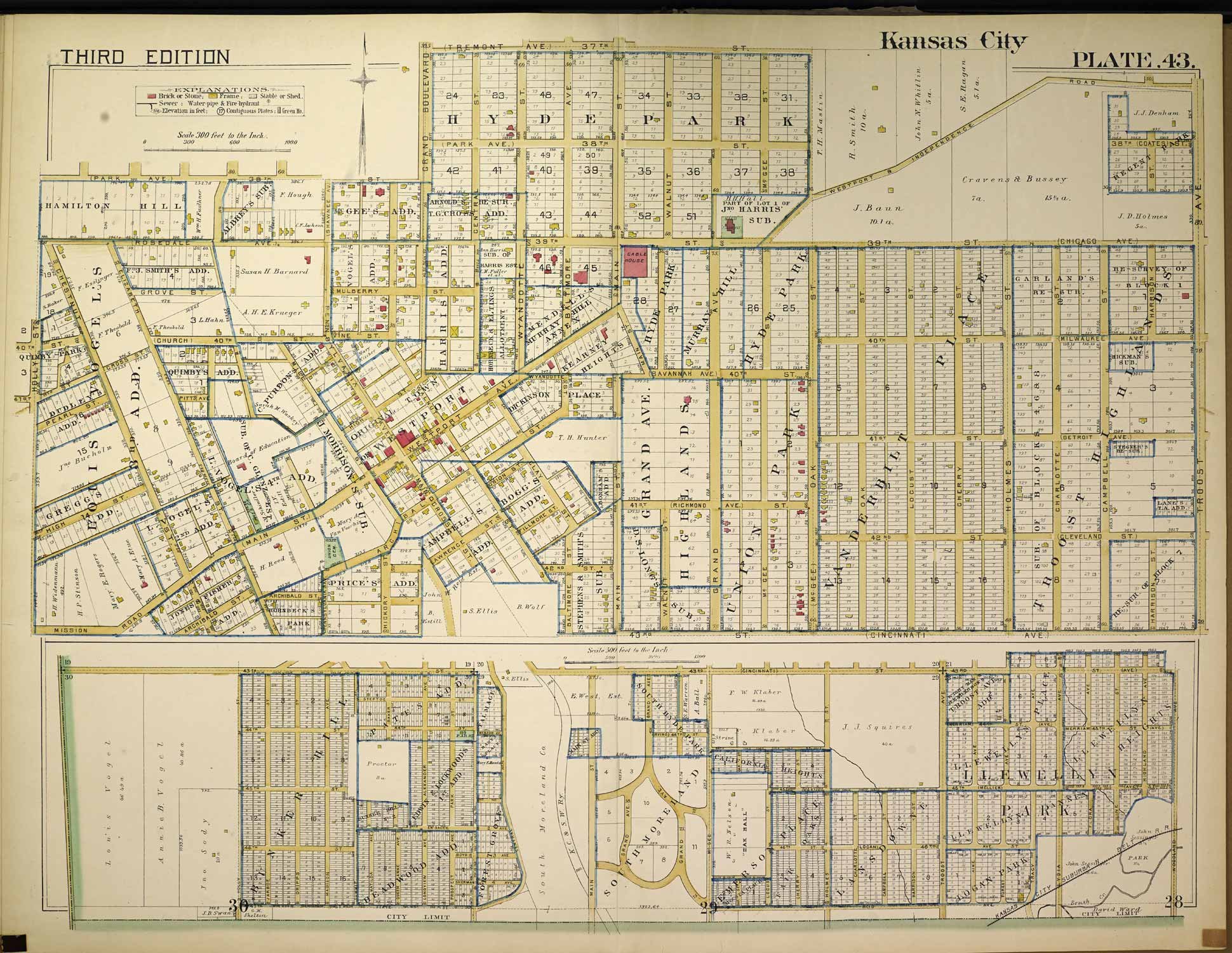
1891 Atlas - Plate 43 - Westport
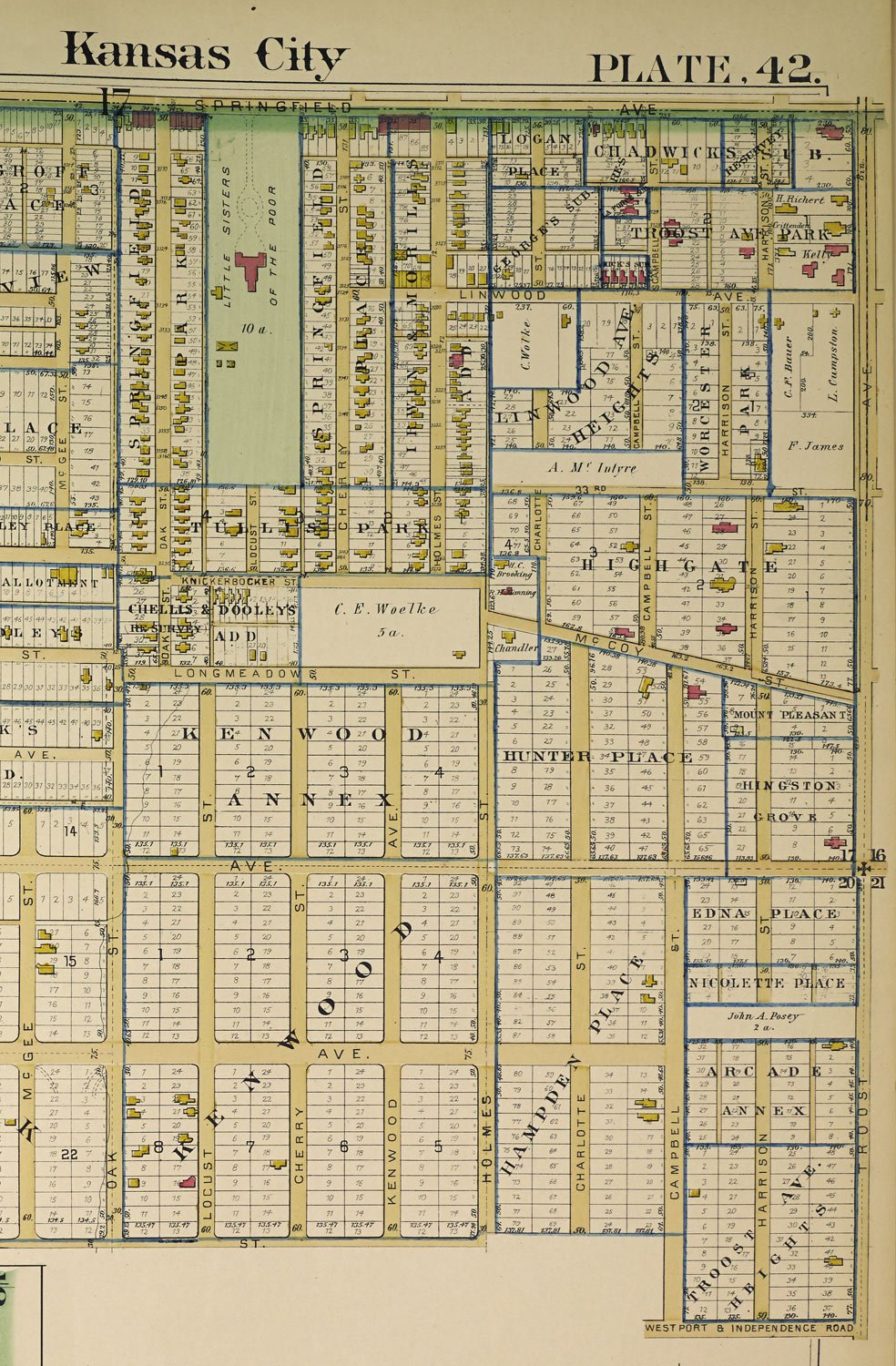
1891 Atlas - Plate 42 Cropped - Future Hyde Park Neighborhood - McGee to Troost - Springfield (31st St) to Westport and Independence Road (Gleed Terrace)
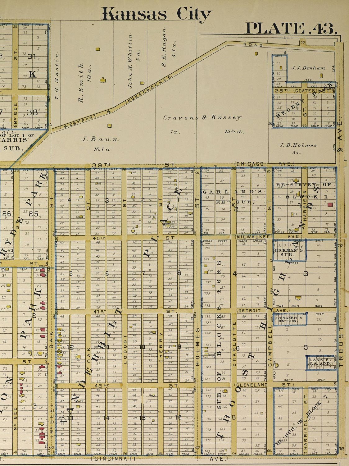
1891 Atlas - Plate 43 Cropped — Future Hyde Park Neighborhood — McGee to Troost - Westport & Independence Road to Cincinnati Ave (43rd St)